Sunday,
September 22 The Great Bike Trail
I really
like it here. Lots to sniff. My maternal
human took me for a long walk. I got to
roll, and sniff, and jump on things to explore.
Did you know my human can run as fast as I can?
Although it
was in the 90’s here yesterday, it cooled down nicely overnight. The Elks is right on the Sacramento
River. We walk ½ a block through the
parking lot of the senior center and we are on the bike trail. To our right, you can pedal 14.5 miles to
Shasta Dam. To the left is the Sundial
Bridge, about 1.5 miles. So we headed
left.
It is a
beautiful trail with the river flowing easily on our right. On our left is a nice park, with benches,
some with statues sitting on them. It is
shaded and very serene. We walk under
the railroad trestles and there is a dam.
They have built fish ladders and there is a viewing area with big
windows where you can watch any salmon that might be heading upstream. We didn’t see any.
At this
point, Spouse headed back as he had to figure out what is going on with the
truck. He has his suspicions, but has to
know for sure.
I continue
on. The trail wanders a teensy bit from
the river, which is now framed with native oaks, sycamores, grasses and even my
beloved berry brambles. There are a few
bicyclists and people walking their dogs.
It is easy walking which ultimately takes me to the Sundial Bridge. It looks like a sundial, thus the name,
probably acts as one too if you were to position yourself right. The bridge is lined with foggy glass panels
the color of the water below. There are
fisherman enjoying their Sunday. It is
beautiful. Across the bridge is a small
farmers market. Ohhh… those little pies look good… but I have no
money… Ugh.
I head back
over the bridge where there is a botanical garden. It is mostly native plants, with a peaceful
water garden, bee gardens, a butterfly garden and such. It takes me back to the river trail and I
head home.
I have been gone
so long, Spouse has been to Auto Zone and back and has diagnosed and fixed the
truck. But I don’t want to leave
now! Let’s get on the bikes and go
towards the dam!
Thus, we
will stay another day! We get on our
bikes and… WTF? Mine is only charged to
80%??? Well, too late now. We will go as long as we are comfortable then
turn around.
The river is
now on our left. There are a few homes
set back from the trail with nice views.
For about 200 feet, we leave the trail in a subdivision, then pick it up
again. No big deal as it is remote, with
no cars. We are heading into the dry
rolling hills dotted with trees. The
trail goes up, down, and left and right.
It is a workout (as much as you want your ebikes to work!). It is closed ahead, but we will act like the
locals we see and disregard the sign and continue on.
There are
occasional benches where you can sit to enjoy the scenery. The trail is gorgeous. Geese honk at us as they fly by. Ducks quack at us as they go by. The hawk doesn’t make a sound…
We come to a
bridge that crosses the river, and we continue to the dam. Damn… I notice I only have 43% power… we will not make Shasta for sure. Spouse is at 39%. The Keswick dam is just a half mile up, so we
head to that as our destination. In the
middle of nowhere, the Keswick dam is a huge concrete monster. We watch the water spiling through on one
side, and we watch the calm waters waiting to get through on the other
side. Rolling hills for as far as the
eye can see. There is almost no
traffic. The trail is ours for the most
part. It’s another 10 miles to Shasta,
which is not something we want to try with our power diminished. Thus, we turn around.
I was at 43%
when we made the turnaround… when we got back to our base, I was at 42%, hmm…
go figure. We decided to pedal to the
Sundial Bridge. I got the mini pies… 2 apple crumble, 2 boysenberry. (It was 4 for $20 so I had to support the
economy).
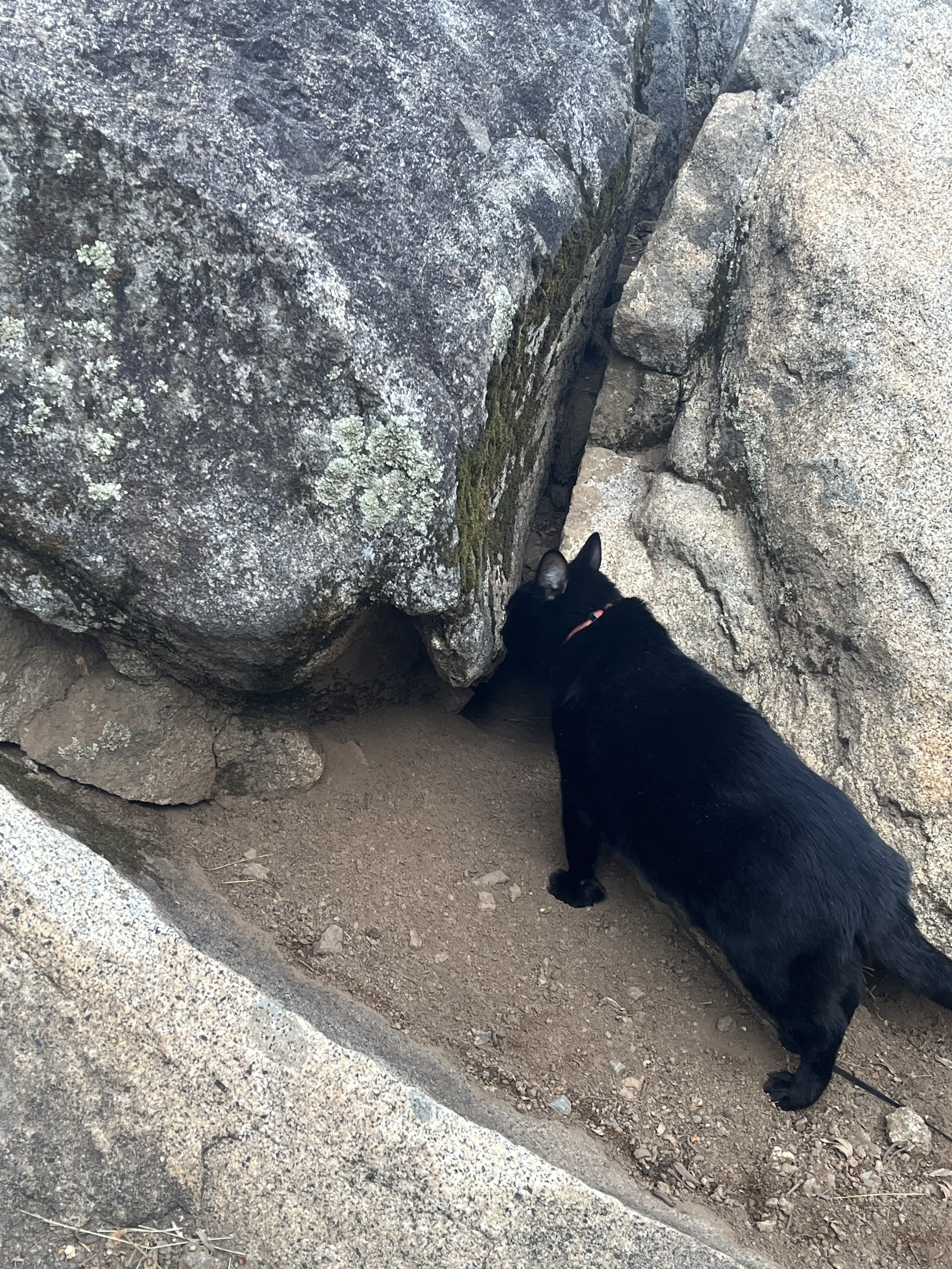
Back at
Artee… Rudy loves it here. He wants to
check everything out. I follow him all
over. Good thing he is on a leash as he
really wants to wander.
We decided
to take the rest of the day off. And we
split one of the boysenberry pies. Oh
yum!
Tomorrow, we
will head for the Elks in Nevada City.
There, we are hooking up with our friends Kathy and Brian, who happen to
be there, and then we will visit with our old friend Sue in Grass Valley before
we head home.
I have to
say that this is one of the best bike trails we have ridden. I would schedule us up here again so that we
could make it up to Shasta. This was a
wonderful treat!